At OSGOF Consultancy Limited, we offer professional land surveying services that combine deep expertise with advanced technology — delivering reliable data for land development, infrastructure, and regulatory compliance. Whether for private, commercial, or public-sector projects, our surveys provide the foundational accuracy your project demands.
Our land surveying services are tailored to meet the highest standards of spatial accuracy, data clarity, and regulatory alignment across Nigeria.
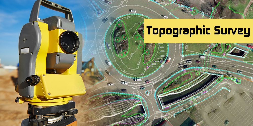
We generate detailed 2D and 3D representations of the terrain, including man-made and natural features, to support engineering design and planning.
Support for construction projects including layout, as-built surveys, deformation monitoring, and precise setting-out.
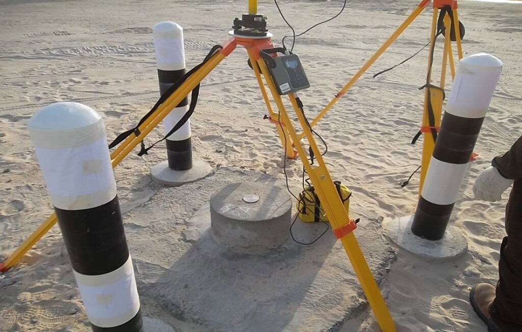
Establishing high-precision control points using GNSS systems to support mapping and spatial data collection at all scales.
Specialized surveys for roadways, railways, pipelines, transmission lines, and corridors — ensuring optimal alignment and minimal land disputes.
Mapping surface and underground utilities to prevent project delays and enhance infrastructure planning.