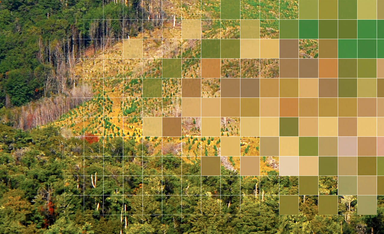
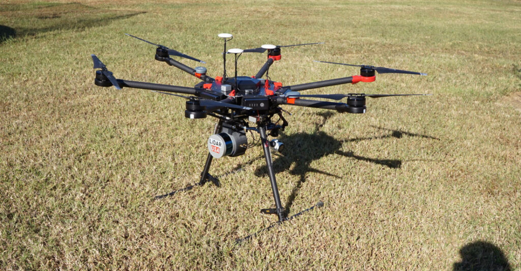
We offer a suite of specialized aerial services powered by the latest drone platforms and sensors, including LiDAR, multispectral, and high-resolution optical cameras.
mappingcloud data — delivering detailed and scalable terrain models for various project needs.
We use the LidarSwiss Nano M8 LiDAR Sensor, capable of acquiring dense 3D point cloud data — delivering detailed and scalable terrain models for various project needs.
- Road and bridge corridor mapping
- Urban planning and development
- Construction progress tracking
- Land acquisition and cadastral boundary mapping
- Environmental monitoring
- Mining and extraction site surveys
We use the LidarSwiss Nano M8 LiDAR Sensor, capable of acquiring dense 3D point cloud data — delivering detailed and scalable terrain models for various project needs.

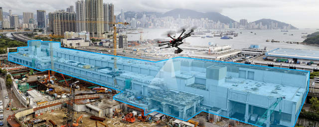
We create highly accurate 3D models of buildings, infrastructure, landscapes, and large construction sites using drone-captured imagery and photogrammetry.
Deliverables include:
- Digital Terrain Models (DTM)
- Digital Surface Models (DSM)
- Orthomosaic maps
- Volumetric calculations (e.g., for stockpile analysis)
We use the LidarSwiss Nano M8 LiDAR Sensor, capable of acquiring dense 3D point cloud data — delivering detailed and scalable terrain models for various project needs.
- Power transmission lines
- Telecom towers
- Bridges and overpasses
- Roofs and building exteriors
- High-rise structures
- Oil and gas facilities
- Corporate events
- Outdoor ceremonies
- Government parades
- Cultural festivals
- Promotional video content
