Drone Mapping vs. Traditional Surveying: Which Is Right for Your Project?
When planning a new development, infrastructure project, or land evaluation, surveying is one of the most important steps. But with evolving technology, project managers and engineers are now faced with a key question:
Should we use traditional land surveying methods, or opt for drone mapping?
Both approaches have their strengths, but understanding the differences, benefits, and use cases can help you make the right choice for your project.
What Is Drone Mapping?
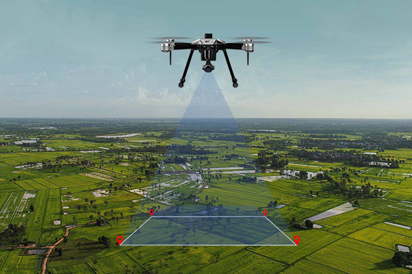
Drone mapping involves using Unmanned Aerial Vehicles (UAVs) to capture high-resolution aerial imagery and 3D data over a specific area. The images are processed into orthomosaic maps, 3D models, digital elevation models (DEMs), and other spatial products.
Drones equipped with LiDAR, GNSS, or multispectral sensors can now match and even surpass some traditional methods in terms of accuracy and detail — with much less time on site.
What Is Traditional Surveying?
Traditional surveying uses tools like total stations, theodolites, GPS/GNSS equipment, and levels to collect precise measurements from the ground. It’s a trusted, legal-standard method for land boundaries, engineering design, and construction layout.
While highly accurate, it can be time-consuming and labor-intensive — especially for large or difficult terrain.
Which Should You Choose?
✅ Choose Drone Mapping if…
– You’re surveying a large area (e.g., farms, estates, topography).
– You need quick results for planning or monitoring.
– The terrain is difficult, risky, or remote.
– You need 3D models, elevation, or photogrammetry.
✅ Choose Traditional Surveying if…
– You require legal boundary definition or cadastral work.
– The site is small, highly technical, or requires millimeter accuracy.
– You’re doing layout work for engineering and construction.
In many cases, Use both
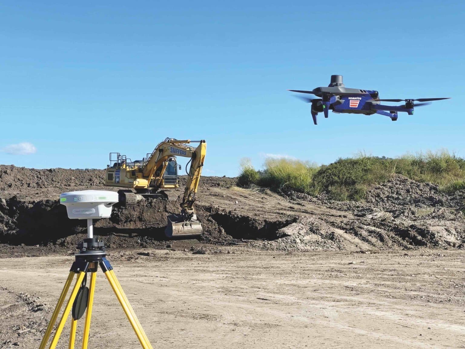
Some of the most successful projects use both drone and traditional methods together. For example, drones can map the terrain, while GNSS ground control ensures higher accuracy and legal compliance.
Need Help Choosing?
At OSGOF Consultancy Limited, we offer both drone mapping and traditional land surveying — tailored to your project’s needs, timeline, and budget. Our team can advise you on the best approach or even combine both for maximum results.
In today’s data-driven world, accurate geospatial information is no longer optional — it’s essential. For…
We are committed to delivering high-quality geospatial solutions, empowering public and private stakeholders with the data and tools they need to plan, build, and thrive in today’s rapidly evolving digital landscape.