

Related Posts
February 8, 2025
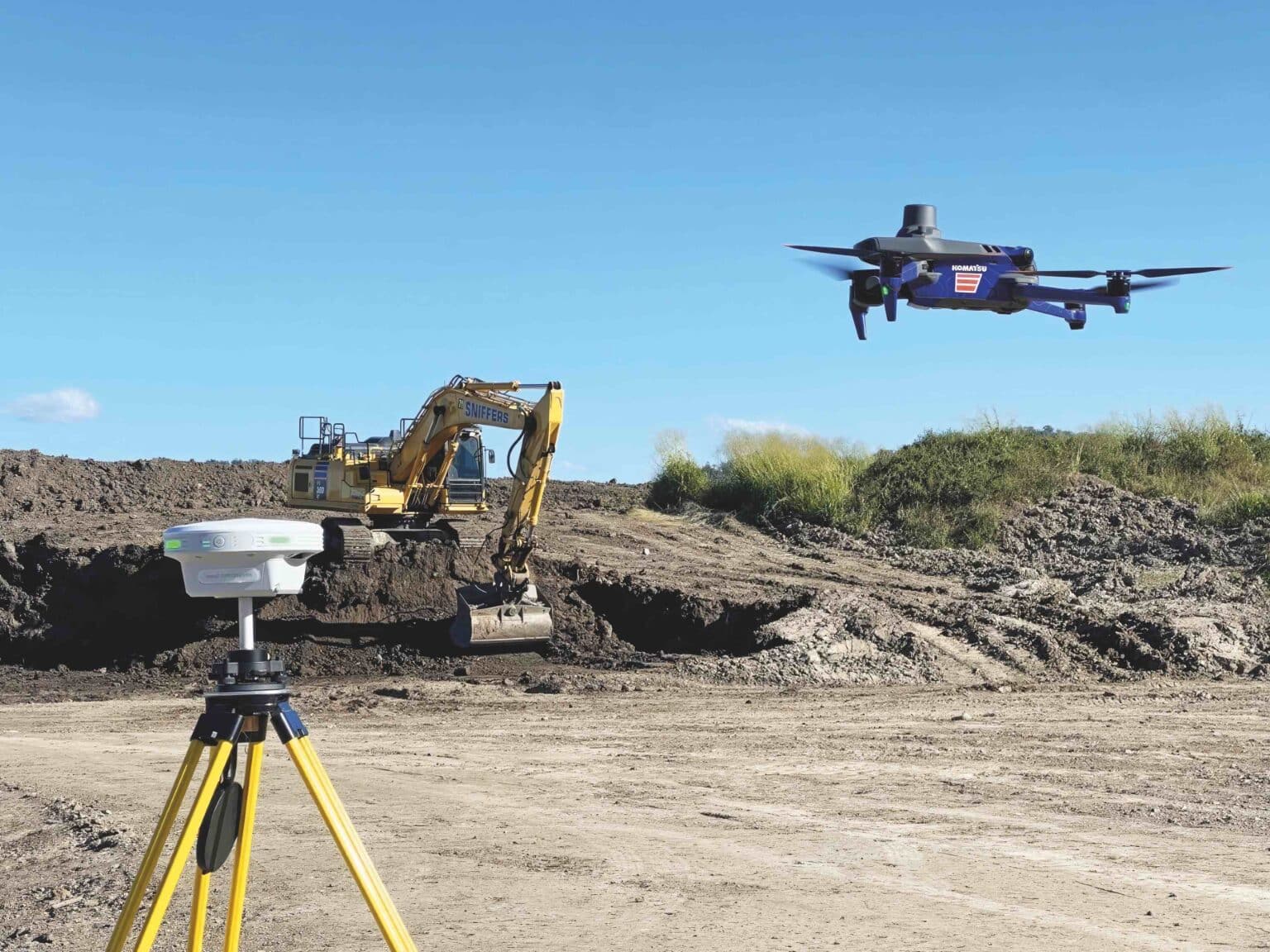
Drone Mapping vs. Traditional Surveying: Which Is Right for Your Project?
When planning a new development, infrastructure project, or land evaluation, surveying is one of the…